UN
4 Caerau Lane
£ 225,000
Description
We don't have a Description for this property.
- Bedrooms
- 4
- Bathrooms
- 0
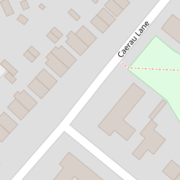
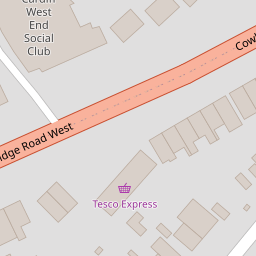
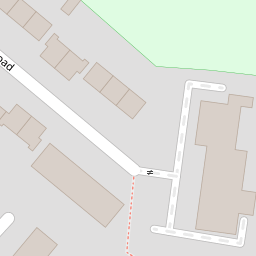

Leaflet © OpenStreetMap contributors
The heatmap indicates the level of crime in the area. The color of the heatmap indicates the crime severity and recency.
Metrics Year-on-Year
- Average area value
- 209,177.00 £Increased by 0.73 %
- Average area rental value
- 962.00 £/moDecreased by 18.54 %
- Est rental Yield
- 5.52 %Decreased by 19.06 %
- Crime Rate
- 23.00 %Unchanged by 0.00 %
from 207,659.00 £
from 1,181.00 £/mo
from 6.82 %
from 23.00 %
Nearby Schools
| Name | Type | Ofsted | Distance |
|---|---|---|---|
| St Francis V.A. Primary School | Welsh Establishment | 0.85 KM | |
| Herbert Thompson Primary | Welsh Establishment | 1.30 KM | |
| Riverbank Special School | Welsh Establishment | 1.52 KM | |
| Fairwater Primary School | Welsh Establishment | 1.55 KM | |
| Mary Immaculate R.C. High School | Welsh Establishment | 1.59 KM |
Images
Nearby Streets
| Name | Average Price | Average Sqft | Distance |
|---|---|---|---|
| Hill Snook Road | £ 215,000 | 0 | 0.00 KM |
| Wheatley Road | £ 194,975 | 0 | 0.00 KM |
| Heol Pantyderi | £ 203,738 | 0 | 0.00 KM |
| Highbury Road | £ 225,000 | 0 | 0.00 KM |
| Chepstow Close | £ 250,000 | 0 | 0.00 KM |
Nearby Transport
| Name | NLC | TLC | Distance |
|---|---|---|---|
| Waun-Gron Park | 3796 | WNG | 2.56 KM |
| Fairwater | 3873 | FRW | 2.66 KM |
| Danescourt | 3797 | DCT | 3.26 KM |
| Llandaf | 3844 | LLN | 4.32 KM |
| Radyr | 3874 | RDR | 4.58 KM |
Nearby Listings
| Address | Price | Type | Score | Distance |
|---|---|---|---|---|
| Cowbridge Road West, Cardiff | £ 180,000 | BUY | 6 / 10 | 0.12 KM |
| Cowbridge Road West, Cardiff | £ 210,000 | BUY | 6 / 10 | 0.14 KM |
| Cowbridge Road West, Cardiff | £ 275,000 | BUY | 6 / 10 | 0.15 KM |
| Michaelston Court, Pyle Road, Caerau, Cardiff, CF5 5JA | £ 110,000 | BUY | 5 / 10 | 0.33 KM |
| St Nicholas Court, Pyle Road, Caerau, Cardiff CF5 5JA | £ 89,950 | BUY | 6 / 10 | 0.33 KM |
Nearby Properties
| Address | Price | Distance |
|---|---|---|
| 26 Caerau Lane | £ 175,000 | 0.00 KM |
| 32 Caerau Lane | £ 122,950 | 0.00 KM |
| 30 Caerau Lane | £ 173,000 | 0.00 KM |
| 4 Caerau Lane | £ 225,000 | 0.00 KM |
| 34 Caerau Lane | £ 180,000 | 0.00 KM |